
Damn, my computer crashed again! I just replaced these batteries in my mouse! I swear every update they make to this software sets us back instead of forward; they should really talk to boots on the ground, or butts in the seats, before they start changing things!
I wish I could go back to the good ole days with field surveying and drafting!
Man, the good ole days… Well, I wasn’t around for those. I started surveying with a Geodimeter 5600 with servo and a first-generation Ranger data collector. I used to hear the old guys' stories about chains and steel tape calibrations, and they always asked where my plumb bob was. The only thing I ever used it for was throwing it into a tree while holding the gammon reel and pretending to be Scorpion from Mortal Kombat: “GET OVER HERE!”
Well, I recently searched the internet for old surveying information and came across some neat ways people used to do things. Imagine being a homesteader in the 1800s...
You traveled out west, fighting tooth and nail to claim your piece of land, where you and your family would set roots and build a life. You arrive at your destination only to find rolling hills, no flat areas to build your house, your barn or even a simple shed. You send word to your local surveyor, right? Well, after writing the letter, taking the two-day horse ride to town, two telegraph stations, a Pony Express ride, and two different trains, your letter arrives at your local surveyor's door. Turns out he is booked for the next three years!
What’s left to do? Build yourself a “Plane Table”.
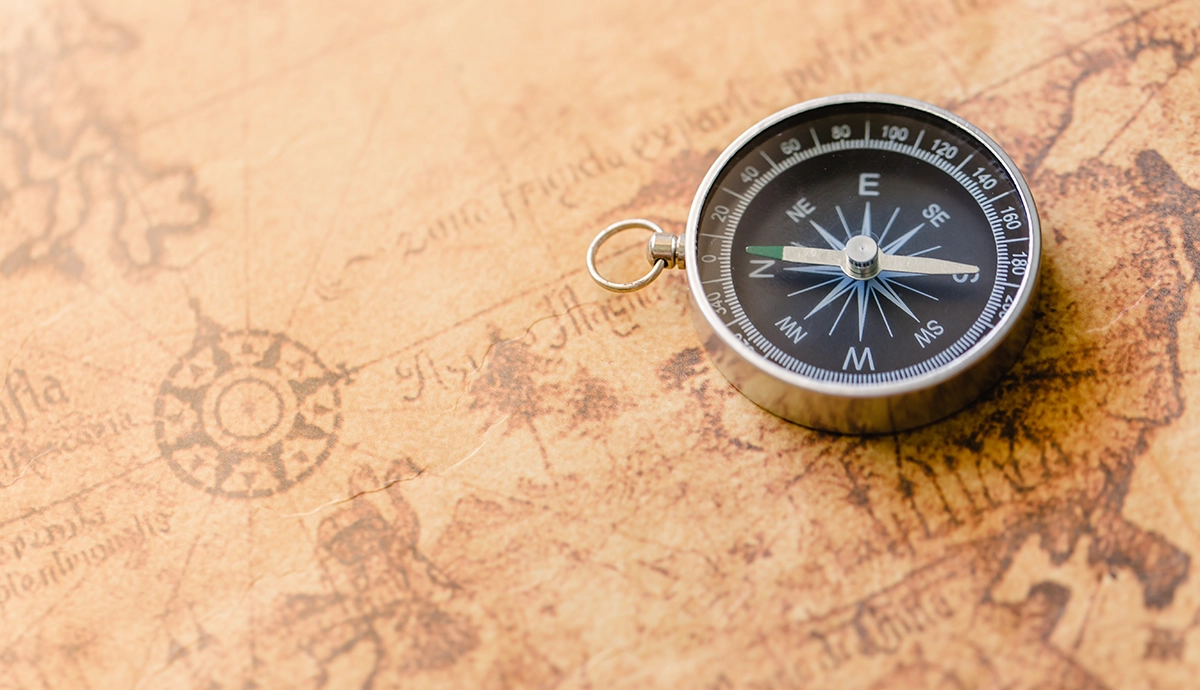
This table consisted of a set of legs, whether sawhorses or a roughly built tripod. You would set your tripod in an area where you could see everything, about 50 meters out, near the maximum distance for the day. You would then level the table, hoping your wooden level of the day hadn’t warped on your trip from the rain and hot temps. You set your compass down on the table, picked a landmark, and took an azimuth to orient your drawing. Sometimes you'd do this multiple times if you planned to move your table during the drafting process. Then you would look through an alidade, or peep sight, if you will. You could then mark these points on your paper, also noting the elevations you see on the “rod” or tape of the person at the other end. You could note the grades and locate trees, boulders and streams to make yourself a plot plan of your newly claimed parcel.
These maps could range from extremely crude measurements to a level of accuracy you wouldn’t think they could achieve back then. It all depended on the materials you had on hand. Were you pacing your distances, did you have an accurate piece of rope to measure, or were you fancy enough to have a chain? Which dates back to Mesopotamia!!
I couldn’t imagine doing this kind of combined drafting and topography out in the field. It must have taken days, or even weeks at points. So next time I have to reboot my equipment or my computer crashes while importing a Carlson/IntelliCAD drawing, I think I will bite my lip thinking about going back to the “good ole days.”
It doesn’t get much better than where we are at, and will keep improving for years to come.


